

Topographical Surveys uk | Topographical Survey ireland | Topographic Survey scotland|
Topographical Surveys by Cadmap Limited
Accurate Land Surveying for Smarter Planning and Design
At Cadmap Limited, we specialise in delivering highly detailed topographical surveys—also known as topo surveys—that capture the complete physical layout of a site, whether it’s land, property, or a defined boundary. Our surveys are precisely scaled and expertly documented to show both natural features and man-made structures, including their elevations and levels.
We use advanced technology and skilled surveyors to ensure the data you receive is accurate, reliable, and ready for use in design, planning, or construction.
How Cadmap Can Help
Whether you're a homeowner, developer, architect, or engineer, our team can advise on all aspects of topographical and land surveys, including:
Choosing the right type of survey for your site
Understanding topographical survey costs
Explaining how the survey process works
We are always available to discuss your project in detail and help you understand what’s involved before, during, and after your survey.
📞 Call us on 01483 429385
📧 Email: info@cadmap.co.uk
Why Do You Need a Topographical Survey?
Topographical surveys collect spatial data about the layout and features of land, often tied to the Ordnance Survey grid and elevation datum. Survey points are captured in three dimensions, which enables:
Accurate ground modelling
3D visualisations
Efficient site planning
These surveys are especially helpful for:
Planning applications
Home extensions
Property development
Flood risk assessments
What’s Included in a Topographical Survey?
Each survey is tailored to your specific needs but can typically include:
Boundary lines
Existing buildings and structures
Street furniture (e.g., streetlamps, benches, signage)
Trees, vegetation, and landscape features
Water channels and levels
Ground heights, slopes, and contours
Drainage infrastructure
Neighbouring property data
Additional Survey Data
We can also integrate other valuable site data to support your project, such as:
Cross-sections through complex terrain
Spot heights to assess overlooking issues
Underground utilities, traced via radar and record integration
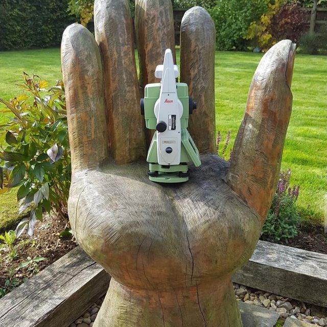
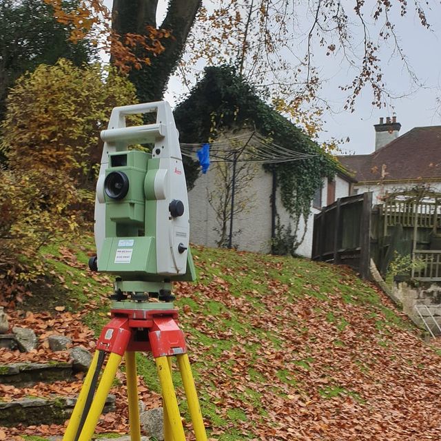
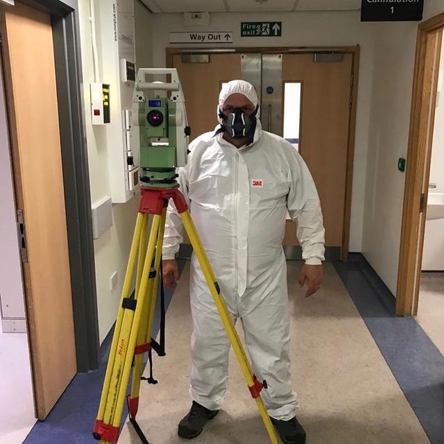
Equipment We Use
We employ state-of-the-art equipment for precise measurement and data capture, including:
GPS surveying instruments
Laser scanning tools
AutoCAD software for high-quality 2D/3D drawings
Drone technology for hard-to-access areas
All data can be delivered in multiple formats including .dwg, .pdf, or hard copy.
Our Survey Process
Every project follows a structured, efficient process:
Initial consultation to understand your requirements
Define survey specifications for planning or design use
Measure the site size and assess level-of-detail needs
Provide a tailored quote and proposed timescale
Conduct the survey using the most appropriate methods
Process and verify the data
Deliver high-quality survey results ready for your project
How Much Does a Topographical Survey Cost?
Survey costs depend on factors such as:
Site size and complexity
Level of detail required
Accessibility and location
We offer competitive pricing and free, no-obligation quotes.
📧 Email us today at info@cadmap.co.uk or
📞 Call 01483 429385 for a personalised estimate.
How Long Will It Take?
Most topographical surveys can be completed in 1 day to a few weeks, depending on the project scale and data complexity. Get in touch to discuss your timeframe.
Why Choose Cadmap Limited?
At Cadmap, we provide:
Over 15 years of experience
Highly trained survey professionals
Tailored service for homeowners, architects, developers, and more
Nationwide service coverage
Fast turnaround times
AutoCAD-ready outputs
Comprehensive site analysis and reporting
We also collaborate with professionals such as tree consultants and ecologists to integrate additional environmental data into your survey when required.
Trusted by a Range of Clients
We’ve supported hundreds of successful planning applications and design projects for:
Homeowners
Architects
Engineers
Retail developers
Site and estate managers
Our surveys give you the accurate site information needed to avoid costly errors, reduce planning delays, and build on a strong foundation.
Contact Cadmap Limited Today
Need expert advice or a topographical survey quote?
📞 Call our friendly team at 01483 429385
📧 Email: info@cadmap.co.uk
Let Cadmap Limited be your trusted surveying partner for any land or development project.

")

