


Topographical Surveying Explained?

What Is a Topographical Survey?
A topographical survey (also known as a land survey or topo survey) is a detailed map of the features and levels of a piece of land. It records:
Site levels and contours
Boundaries and building outlines
Trees, hedges, fences and vegetation
Roads, pavements, kerbs, and access routes
Utility covers and drainage features
Street furniture, light posts, signs, and more
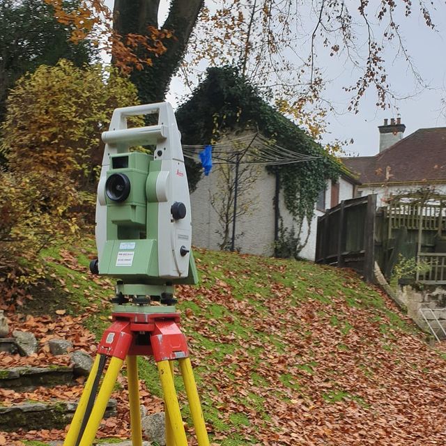
We use high-precision GNSS, total stations, and 3D laser scanning to provide millimetre-accurate data. Results are delivered as AutoCAD DWG and PDF files, fully layered and ready for use in your design, planning or construction process.


")

